
Tibasosa topographic map
Interactive map
Click on the map to display elevation.
About this map
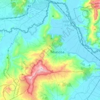
Name: Tibasosa topographic map, elevation, terrain.
Location: Tibasosa, Boyacá, Colombia (5.68678 -73.06857 5.80940 -72.94005)
Average elevation: 2,632 m
Minimum elevation: 2,471 m
Maximum elevation: 3,219 m