
Rosenhoff topographic map
Interactive map
Click on the map to display elevation.
About this map
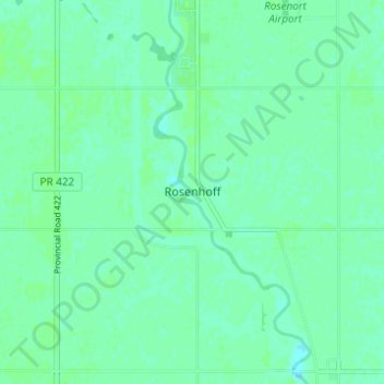
Name: Rosenhoff topographic map, elevation, terrain.
Location: Rosenhoff, Manitoba, Canada (49.41260 -97.45740 49.45260 -97.41740)
Average elevation: 238 m
Minimum elevation: 234 m
Maximum elevation: 240 m