
Mashati topographic map
Interactive map
Click on the map to display elevation.
About this map
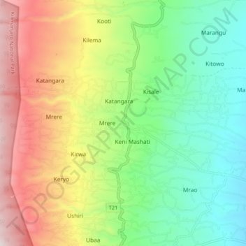
Name: Mashati topographic map, elevation, terrain.
Location: Mashati, Rombo, Kilimanjaro, Northern Zone, Tanzania (-3.18425 37.56473 -3.10425 37.64473)
Average elevation: 1,512 m
Minimum elevation: 1,179 m
Maximum elevation: 2,036 m