
Crestview topographic map
Interactive map
Click on the map to display elevation.
About this map
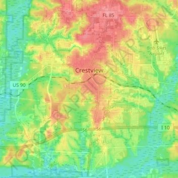
Name: Crestview topographic map, elevation, terrain.
Location: Crestview, Okaloosa County, Florida, USA (30.69569 -86.63562 30.80514 -86.52671)
Average elevation: 43 m
Minimum elevation: 10 m
Maximum elevation: 89 m