
Penaga topographic map
Interactive map
Click on the map to display elevation.
About this map
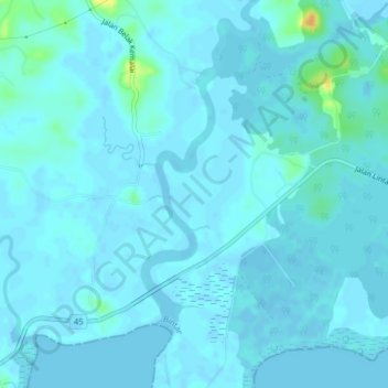
Name: Penaga topographic map, elevation, terrain.
Location: Penaga, Riau Islands, 2222, Indonesia (1.04907 104.39933 1.08907 104.43933)
Average elevation: 3 m
Minimum elevation: -3 m
Maximum elevation: 32 m