
Courmayeur topographic map
Interactive map
Click on the map to display elevation.
About this map
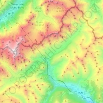
Name: Courmayeur topographic map, elevation, terrain.
Location: Courmayeur, Aosta Valley, 11013, Italy (45.74004 6.80245 45.92284 7.10155)
Average elevation: 2,367 m
Minimum elevation: 818 m
Maximum elevation: 4,804 m