
Fishwick topographic map
Interactive map
Click on the map to display elevation.
About this map
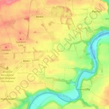
Name: Fishwick topographic map, elevation, terrain.
Location: Fishwick, Scottish Borders, Scotland, TD15 1XQ, United Kingdom (55.73445 -2.15344 55.77445 -2.11344)
Average elevation: 40 m
Minimum elevation: -1 m
Maximum elevation: 73 m