
Ejin Horo topographic map
Interactive map
Click on the map to display elevation.
About this map
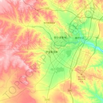
Name: Ejin Horo topographic map, elevation, terrain.
Location: Ejin Horo, Ejin Horo Banner, Ordos City, Inner Mongolia, PRC (39.40377 109.58190 39.72377 109.90190)
Average elevation: 1,374 m
Minimum elevation: 1,221 m
Maximum elevation: 1,535 m