
Hann. Münden topographic map
Interactive map
Click on the map to display elevation.
About this map
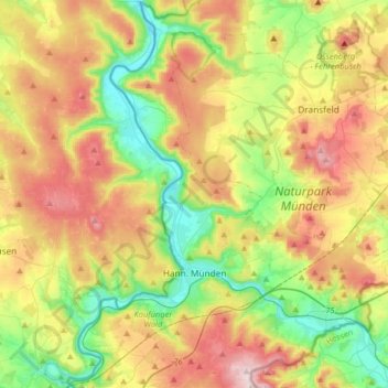
Name: Hann. Münden topographic map, elevation, terrain.
Location: Hann. Münden, Landkreis Göttingen, Lower Saxony, 34346, Germany (51.35638 9.56846 51.55764 9.80258)
Average elevation: 287 m
Minimum elevation: 108 m
Maximum elevation: 538 m