
Hainfeld topographic map
Interactive map
Click on the map to display elevation.
About this map
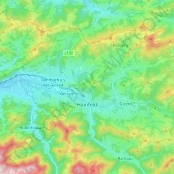
Name: Hainfeld topographic map, elevation, terrain.
Location: Hainfeld, Bezirk Lilienfeld, Lower Austria, 3170, Austria (48.00994 15.71954 48.08007 15.87179)
Average elevation: 577 m
Minimum elevation: 375 m
Maximum elevation: 1,101 m