
Azcapotzalco topographic map
Interactive map
Click on the map to display elevation.
About this map
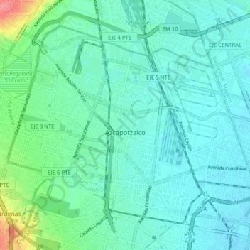
Name: Azcapotzalco topographic map, elevation, terrain.
Location: Azcapotzalco, Mexico City, Mexico (19.45643 -99.22112 19.51514 -99.14305)
Average elevation: 2,247 m
Minimum elevation: 2,233 m
Maximum elevation: 2,309 m
Other topographic maps
Click on a map to view its topography, its elevation and its terrain.