
Kampung Kota Lama topographic map
Interactive map
Click on the map to display elevation.
About this map
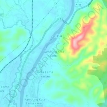
Name: Kampung Kota Lama topographic map, elevation, terrain.
Location: Kampung Kota Lama, Perak, 33040, Malaysia (4.78630 100.93970 4.82630 100.97970)
Average elevation: 69 m
Minimum elevation: 31 m
Maximum elevation: 220 m