
Baloch Muhallah topographic map
Interactive map
Click on the map to display elevation.
About this map
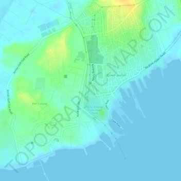
Name: Baloch Muhallah topographic map, elevation, terrain.
Location: Baloch Muhallah, Ibrahim Hyderi, Sindh, Pakistan (24.78817 67.13612 24.79023 67.13777)
Average elevation: 7 m
Minimum elevation: -1 m
Maximum elevation: 27 m