
Thank you for supporting this site ❤️
Make a donation
Make a donation
Al Udayd Governorate topographic map
Click on the map to display elevation.
Thank you for supporting this site ❤️
Make a donation
Make a donation
About this map
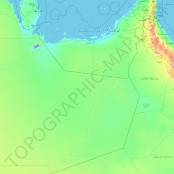
Name: Al Udayd Governorate topographic map, elevation, terrain.
Location: Al Udayd Governorate, Eastern Region, 36621, Saudi Arabia (19.00050 50.01328 25.55450 55.66669)
Average elevation: 133 m
Minimum elevation: -14 m
Maximum elevation: 2,554 m
Thank you for supporting this site ❤️
Make a donation
Make a donation