
Sengwa River topographic map
Interactive map
Click on the map to display elevation.
About this map
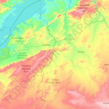
Name: Sengwa River topographic map, elevation, terrain.
Location: Sengwa River, Matabeleland North, Zimbabwe (-18.30159 28.03112 -16.86604 28.83986)
Average elevation: 797 m
Minimum elevation: 480 m
Maximum elevation: 1,426 m
Other topographic maps
Click on a map to view its topography, its elevation and its terrain.