
Cuchi topographic map
Interactive map
Click on the map to display elevation.
About this map
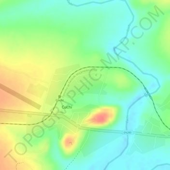
Name: Cuchi topographic map, elevation, terrain.
Location: Cuchi, Cuando Cubango, Angola (-14.65055 16.89367 -14.64647 16.90014)
Average elevation: 1,358 m
Minimum elevation: 1,331 m
Maximum elevation: 1,394 m