
Chama topographic map
Interactive map
Click on the map to display elevation.
About this map
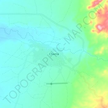
Name: Chama topographic map, elevation, terrain.
Location: Chama, Chama District, Muchinga Province, Zambia (-11.25639 33.11862 -11.17639 33.19862)
Average elevation: 787 m
Minimum elevation: 739 m
Maximum elevation: 988 m