
Weston topographic map
Interactive map
Click on the map to display elevation.
About this map
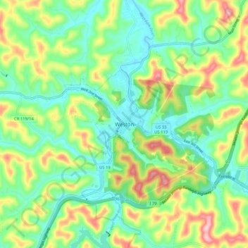
Name: Weston topographic map, elevation, terrain.
Location: Weston, Lewis County, West Virginia, 26452, United States (38.99843 -80.50731 39.07843 -80.42731)
Average elevation: 370 m
Minimum elevation: 302 m
Maximum elevation: 498 m