
Thank you for supporting this site ❤️
Make a donation
Make a donation
Charleston County topographic map
Click on the map to display elevation.
Thank you for supporting this site ❤️
Make a donation
Make a donation
About this map
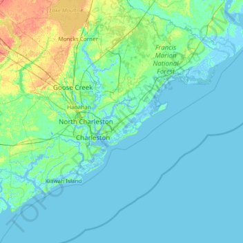
Name: Charleston County topographic map, elevation, terrain.
Location: Charleston County, South Carolina, United States of America (32.49280 -80.45191 33.21502 -79.25611)
Average elevation: 5 m
Minimum elevation: -4 m
Maximum elevation: 40 m
Thank you for supporting this site ❤️
Make a donation
Make a donation