
Geru topographic map
Interactive map
Click on the map to display elevation.
About this map
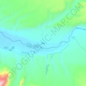
Name: Geru topographic map, elevation, terrain.
Location: Geru, Mangka, Thoding, Zanda County, China (31.46255 79.66049 31.50255 79.70049)
Average elevation: 3,690 m
Minimum elevation: 3,598 m
Maximum elevation: 4,013 m