
Mariposa County topographic map
Interactive map
Click on the map to display elevation.
About this map
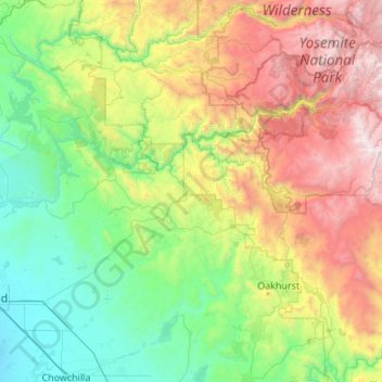
Name: Mariposa County topographic map, elevation, terrain.
Location: Mariposa County, California, United States of America (37.18303 -120.39544 37.90277 -119.30916)
Average elevation: 1,036 m
Minimum elevation: 48 m
Maximum elevation: 3,525 m
Other topographic maps
Click on a map to view its topography, its elevation and its terrain.