
Changwon-si topographic map
Interactive map
Click on the map to display elevation.
About this map
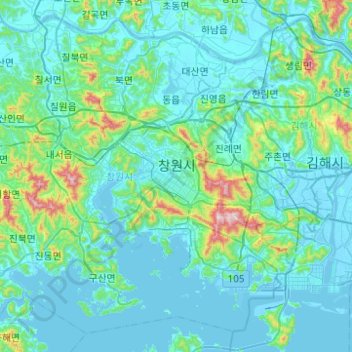
Name: Changwon-si topographic map, elevation, terrain.
Location: Changwon-si, Gyeongsangnam-do, South Korea (35.03340 128.34795 35.39425 128.84335)
Average elevation: 86 m
Minimum elevation: -5 m
Maximum elevation: 777 m