
Hosford-Abernethy topographic map
Interactive map
Click on the map to display elevation.
About this map
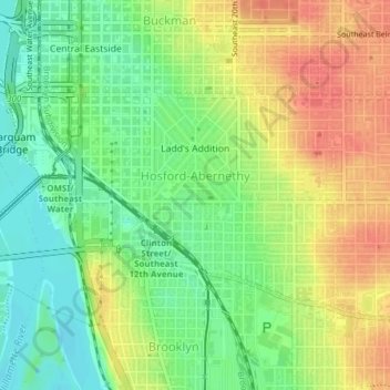
Name: Hosford-Abernethy topographic map, elevation, terrain.
Location: Hosford-Abernethy, Portland, Multnomah County, Oregon, USA (45.49732 -122.67094 45.51323 -122.63557)
Average elevation: 26 m
Minimum elevation: -2 m
Maximum elevation: 54 m
Other topographic maps
Click on a map to view its topography, its elevation and its terrain.
Mount Tabor
Mount Tabor, Portland, Multnomah County, Oregon, 97215, USA
Average elevation: 86 m