
Laguna Verde topographic map
Interactive map
Click on the map to display elevation.
About this map
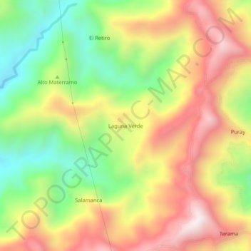
Name: Laguna Verde topographic map, elevation, terrain.
Location: Laguna Verde, Yacopí, Colombia (5.53978 -74.41043 5.57978 -74.37043)
Average elevation: 1,080 m
Minimum elevation: 668 m
Maximum elevation: 1,502 m