
Pindar Glacier topographic map
Interactive map
Click on the map to display elevation.
About this map
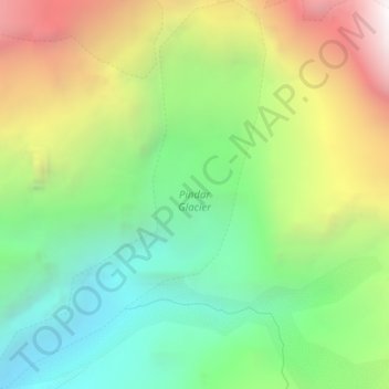
Name: Pindar Glacier topographic map, elevation, terrain.
Location: Pindar Glacier, Bageshwar, Uttarakhand, India (30.26391 79.99510 30.29667 80.02188)
Average elevation: 4,447 m
Minimum elevation: 3,608 m
Maximum elevation: 5,759 m
Other topographic maps
Click on a map to view its topography, its elevation and its terrain.
Milam Glacier
Milam Glacier, Pithoragarh, Uttarakhand, India
Average elevation: 5,223 m
Pithoragarh
India > Uttarakhand > Pithoragarh
Pithoragarh, Uttarakhand, 262500, India
Average elevation: 1,618 m