
Lahore District topographic map
Interactive map
Click on the map to display elevation.
About this map
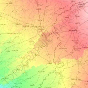
Name: Lahore District topographic map, elevation, terrain.
Location: Lahore District, Punjab, 04200, Pakistan (30.77667 73.69333 32.05667 74.97333)
Average elevation: 209 m
Minimum elevation: 175 m
Maximum elevation: 247 m
Other topographic maps
Click on a map to view its topography, its elevation and its terrain.
Rawalpindi
Pakistan > Punjab > Rawalpindi
Rawalpindi, Rawalpindi Cantt, Punjab, 23451, Pakistan
Average elevation: 530 m
Chenab River
Chenab River, Gujrānwāla District, Punjab, 35460, Pakistan
Average elevation: 507 m