
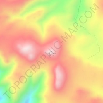
Cerro Torre topographic map
Interactive map
Click on the map to display elevation.
About this map
Name: Cerro Torre topographic map, elevation, terrain.
Average elevation: 4,569 m
Minimum elevation: 4,278 m
Maximum elevation: 4,737 m
Other topographic maps
Click on a map to view its topography, its elevation and its terrain.
Almirante Brown
Argentina > JJY > San Salvador de Jujuy
Almirante Brown, San Salvador de Jujuy, Municipio de San Salvador de Jujuy, Departamento Doctor Manuel Belgrano, JJY, Argentina
Average elevation: 1,230 m