
Bududa topographic map
Interactive map
Click on the map to display elevation.
About this map
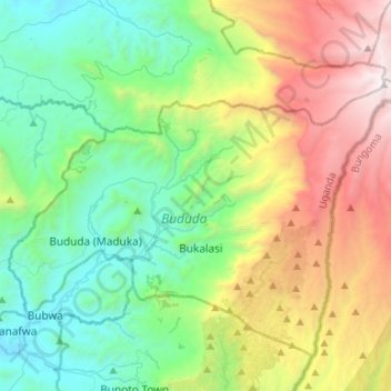
Name: Bududa topographic map, elevation, terrain.
Location: Bududa, Eastern Region, Uganda (0.96272 34.27166 1.12153 34.53715)
Average elevation: 2,166 m
Minimum elevation: 1,172 m
Maximum elevation: 4,310 m