
Mavinga topographic map
Interactive map
Click on the map to display elevation.
About this map
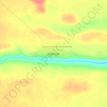
Name: Mavinga topographic map, elevation, terrain.
Location: Mavinga, Cuando Cubango, Angola (-15.83440 20.32567 -15.75440 20.40567)
Average elevation: 1,194 m
Minimum elevation: 1,158 m
Maximum elevation: 1,220 m