
Sinde topographic map
Interactive map
Click on the map to display elevation.
About this map
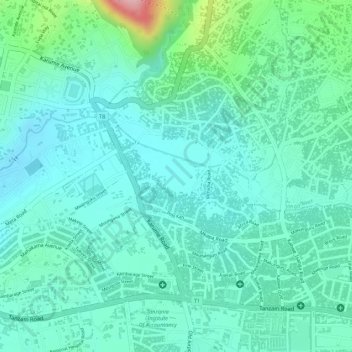
Name: Sinde topographic map, elevation, terrain.
Location: Sinde, Mbeya, Southern Highlands Zone, Tanzania (-8.90603 33.44876 -8.89613 33.46119)
Average elevation: 1,714 m
Minimum elevation: 1,673 m
Maximum elevation: 1,853 m