
Dekanovec topographic map
Interactive map
Click on the map to display elevation.
About this map
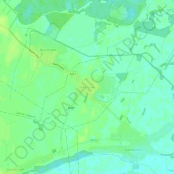
Name: Dekanovec topographic map, elevation, terrain.
Location: Dekanovec, Općina Dekanovec, Gespanschaft Murinsel, Kroatien (46.42654 16.56185 46.46654 16.60185)
Average elevation: 151 m
Minimum elevation: 144 m
Maximum elevation: 157 m