
Kanpur Nagar topographic map
Interactive map
Click on the map to display elevation.
About this map
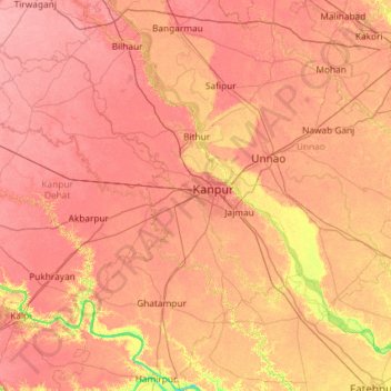
Name: Kanpur Nagar topographic map, elevation, terrain.
Location: Kanpur Nagar, Uttar Pradesh, India (25.91851 79.88000 26.96610 80.58837)
Average elevation: 125 m
Minimum elevation: 88 m
Maximum elevation: 145 m
Other topographic maps
Click on a map to view its topography, its elevation and its terrain.