
Machile topographic map
Interactive map
Click on the map to display elevation.
About this map
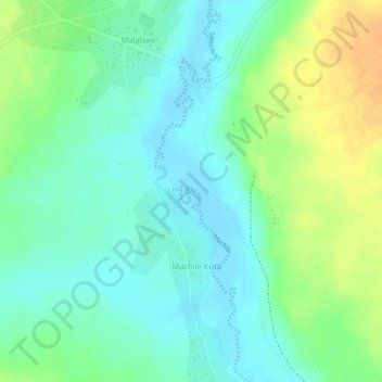
Name: Machile topographic map, elevation, terrain.
Location: Machile, Western Province, Zambia (-16.86174 25.11277 -16.84032 25.11896)
Average elevation: 981 m
Minimum elevation: 967 m
Maximum elevation: 1,002 m
Other topographic maps
Click on a map to view its topography, its elevation and its terrain.
Mongu
Mongu, Mongu District, Western Province, Zambia
Average elevation: 1,037 m
Sioma Ngwezi National Park
Sioma Ngwezi National Park, RD324, Western Province, Zambia
Average elevation: 973 m