
Katori topographic map
Interactive map
Click on the map to display elevation.
About this map
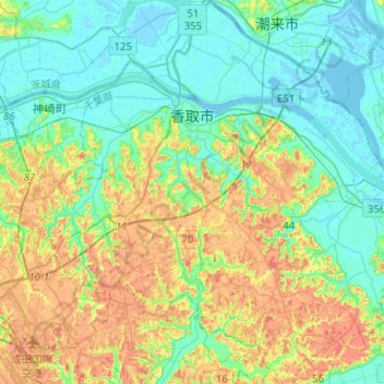
Name: Katori topographic map, elevation, terrain.
Location: Katori, Chiba Prefecture, Kanto, Japan (35.75347 140.42484 35.95874 140.65150)
Average elevation: 20 m
Minimum elevation: -3 m
Maximum elevation: 58 m