
Lomita Park topographic map
Interactive map
Click on the map to display elevation.
About this map
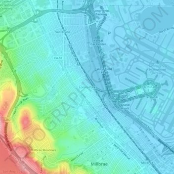
Name: Lomita Park topographic map, elevation, terrain.
Location: Lomita Park, San Mateo County, California, 94066-3604, USA (37.59660 -122.42442 37.63660 -122.38442)
Average elevation: 27 m
Minimum elevation: -6 m
Maximum elevation: 162 m