
Serola topographic map
Interactive map
Click on the map to display elevation.
About this map
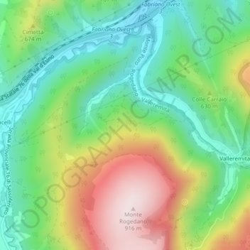
Name: Serola topographic map, elevation, terrain.
Location: Serola, Fabriano, AN, Marche, Italy (43.29030 12.84713 43.31030 12.86713)
Average elevation: 576 m
Minimum elevation: 373 m
Maximum elevation: 914 m