
Kaluba topographic map
Interactive map
Click on the map to display elevation.
About this map
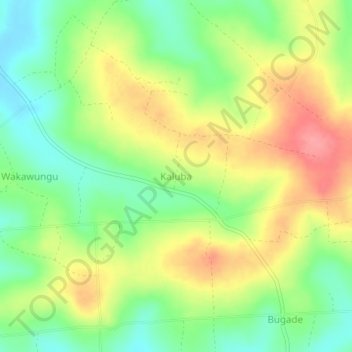
Name: Kaluba topographic map, elevation, terrain.
Location: Kaluba, Mayuge, Eastern Region, Uganda (0.38000 33.49667 0.42000 33.53667)
Average elevation: 1,188 m
Minimum elevation: 1,148 m
Maximum elevation: 1,235 m