
East Road topographic map
Interactive map
Click on the map to display elevation.
About this map
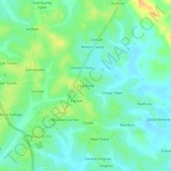
Name: East Road topographic map, elevation, terrain.
Location: East Road, St. Paul River, Montserrado County, Liberia (6.41516 -10.79286 6.45516 -10.75286)
Average elevation: 15 m
Minimum elevation: 3 m
Maximum elevation: 36 m