
Manyara topographic map
Interactive map
Click on the map to display elevation.
About this map
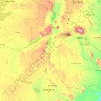
Name: Manyara topographic map, elevation, terrain.
Location: Manyara, Northern Zone, Tanzania (-6.63275 33.29217 -1.51275 38.41217)
Average elevation: 1,212 m
Minimum elevation: 177 m
Maximum elevation: 5,749 m
Other topographic maps
Click on a map to view its topography, its elevation and its terrain.