
Picardy topographic map
Interactive map
Click on the map to display elevation.
About this map
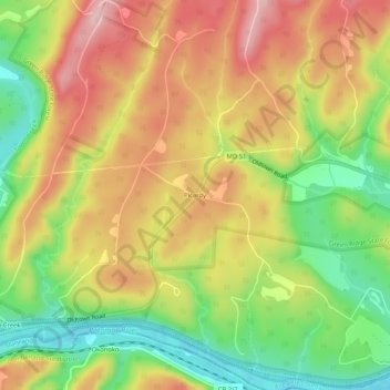
Name: Picardy topographic map, elevation, terrain.
Location: Picardy, Allegany County, Maryland, United States (39.51898 -78.53335 39.55898 -78.49335)
Average elevation: 251 m
Minimum elevation: 147 m
Maximum elevation: 348 m