
Bald Eagle topographic map
Interactive map
Click on the map to display elevation.
About this map
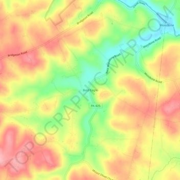
Name: Bald Eagle topographic map, elevation, terrain.
Location: Bald Eagle, York County, Pennsylvania, 17321, United States (39.75038 -76.44802 39.79038 -76.40802)
Average elevation: 163 m
Minimum elevation: 88 m
Maximum elevation: 221 m