
Chikwawa topographic map
Interactive map
Click on the map to display elevation.
About this map
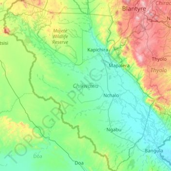
Name: Chikwawa topographic map, elevation, terrain.
Location: Chikwawa, Southern Region, Malawi (-16.68935 34.24914 -15.74107 35.12127)
Average elevation: 338 m
Minimum elevation: 42 m
Maximum elevation: 1,584 m