
Mansa topographic map
Interactive map
Click on the map to display elevation.
About this map
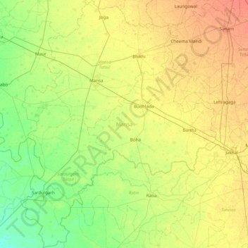
Name: Mansa topographic map, elevation, terrain.
Location: Mansa, Punjab, India (29.54294 75.16756 30.20946 75.77526)
Average elevation: 218 m
Minimum elevation: 202 m
Maximum elevation: 242 m
Other topographic maps
Click on a map to view its topography, its elevation and its terrain.