
Morelos topographic map
Interactive map
Click on the map to display elevation.
About this map
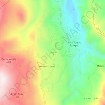
Name: Morelos topographic map, elevation, terrain.
Location: Morelos, Santo Tomás Ocotepec, Oaxaca, Mexico (17.12111 -97.79111 17.16111 -97.75111)
Average elevation: 2,364 m
Minimum elevation: 2,015 m
Maximum elevation: 2,769 m