
Central Province topographic map
Interactive map
Click on the map to display elevation.
About this map
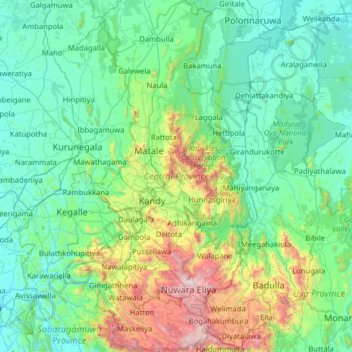
Name: Central Province topographic map, elevation, terrain.
Location: Central Province, Sri Lanka (6.75122 80.42190 8.01235 81.01653)
Average elevation: 389 m
Minimum elevation: 8 m
Maximum elevation: 2,493 m