
Rukwa topographic map
Interactive map
Click on the map to display elevation.
About this map
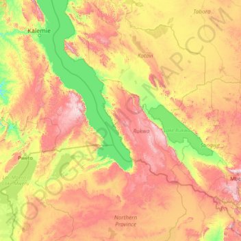
Name: Rukwa topographic map, elevation, terrain.
Location: Rukwa, Southern Highlands Zone, Tanzania (-10.31113 28.38879 -5.19113 33.50879)
Average elevation: 1,207 m
Minimum elevation: 710 m
Maximum elevation: 2,533 m