
Chisenga topographic map
Interactive map
Click on the map to display elevation.
About this map
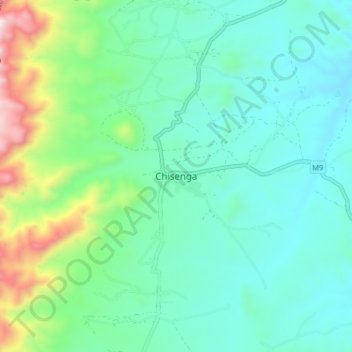
Name: Chisenga topographic map, elevation, terrain.
Location: Chisenga, Chitipa, Northern Region, Malawi (-10.02100 33.35608 -9.94100 33.43608)
Average elevation: 1,588 m
Minimum elevation: 1,384 m
Maximum elevation: 2,296 m