
Denali National Park and Preserve topographic map
Interactive map
Click on the map to display elevation.
About this map
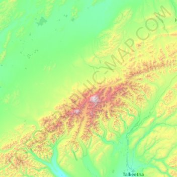
Name: Denali National Park and Preserve topographic map, elevation, terrain.
Average elevation: 777 m
Minimum elevation: 70 m
Maximum elevation: 6,139 m