
Sioma Ngwezi National Park topographic map
Interactive map
Click on the map to display elevation.
About this map
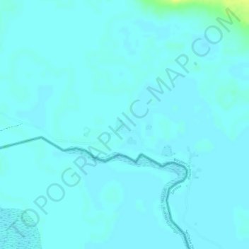
Name: Sioma Ngwezi National Park topographic map, elevation, terrain.
Location: Sioma Ngwezi National Park, RD324, Western Province, Zambia (-17.57178 23.38657 -17.57176 23.38659)
Average elevation: 973 m
Minimum elevation: 970 m
Maximum elevation: 988 m
Other topographic maps
Click on a map to view its topography, its elevation and its terrain.