
Utengule topographic map
Interactive map
Click on the map to display elevation.
About this map
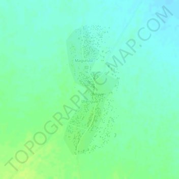
Name: Utengule topographic map, elevation, terrain.
Location: Utengule, Mbeya, Southern Highlands Zone, Tanzania (-8.68819 33.85975 -8.66857 33.86825)
Average elevation: 1,065 m
Minimum elevation: 1,058 m
Maximum elevation: 1,073 m